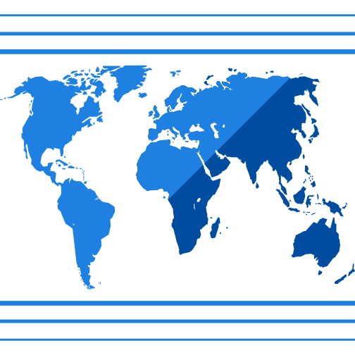
This illustration features a comprehensive collection of earth maps and location markers, designed to represent geographical data and enhance spatial understanding. The image showcases various map styles, including political, physical, and thematic representations of the Earth, making it ideal for educational, scientific, and professional contexts. It can be utilized in presentations, research papers, and digital content to illustrate concepts related to geography, cartography, and global positioning. The clear and visually appealing design allows for easy interpretation, making it a valuable resource for educators, students, and professionals in fields such as environmental science, urban planning, and logistics.

Part of the
Scientific SVG collection,
in Science.
Download the Global Earth Maps and Location Markers vector as a ready-to-edit .svg file —
it scales to any size without losing quality and can be recoloured in any
vector editor or straight in CSS.