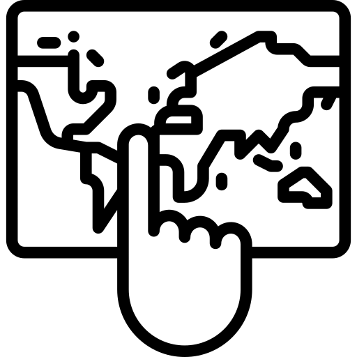
This detailed geography map serves as a versatile educational tool designed for e-learning platforms. It visually represents various geographical features, including countries, cities, rivers, and mountain ranges, making it an ideal resource for students and educators alike. The map can be utilized in geography lessons, interactive quizzes, and online courses to enhance understanding of global locations and physical landscapes. Its clear labeling and vibrant colors facilitate easy navigation and engagement, promoting an immersive learning experience. Additionally, this map can be adapted for use in presentations, educational websites, and digital learning materials, supporting a wide range of teaching methodologies and learning objectives.


Part of the
E Learning SVG collection,
in Education.
Download the Interactive Geography Map vector as a ready-to-edit .svg file —
it scales to any size without losing quality and can be recoloured in any
vector editor or straight in CSS.