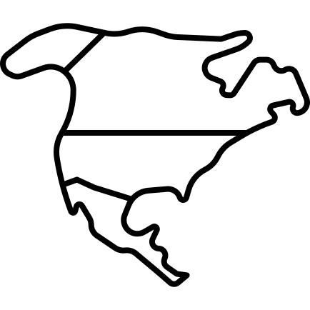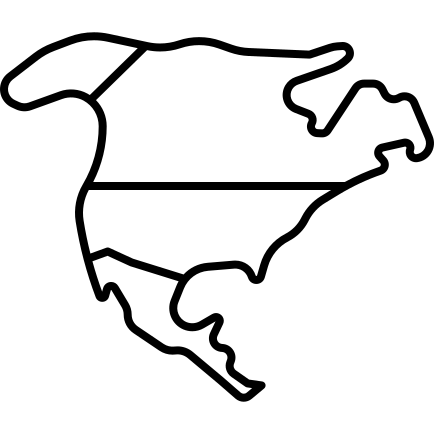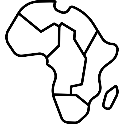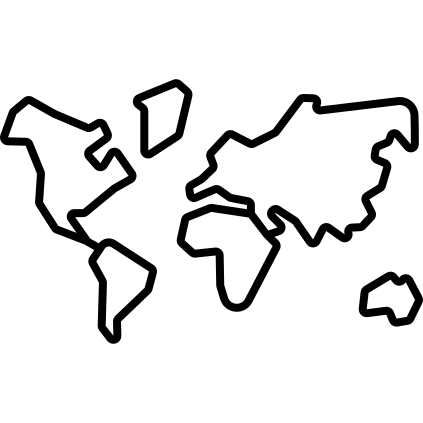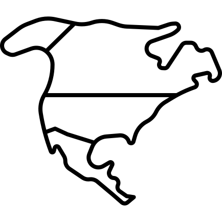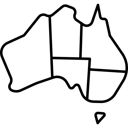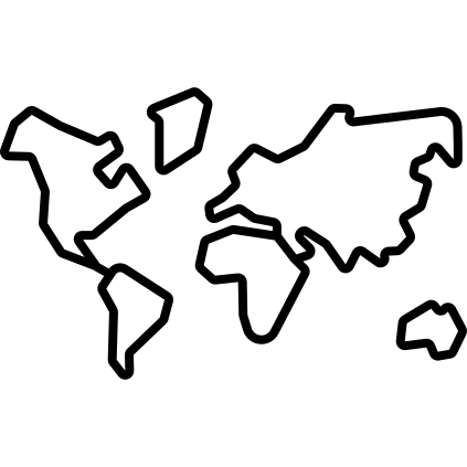
This illustration features a detailed map of the world's continents, showcasing their geographical outlines and relative positions. The design is ideal for educational purposes, providing a clear visual reference for geography lessons or travel-related content. It can be effectively used in presentations, websites, and printed materials aimed at promoting awareness of global geography, cultural diversity, and environmental issues. The map's clean lines and distinct continent shapes make it suitable for infographics, travel brochures, and interactive learning tools, enhancing the viewer's understanding of Earth's landmasses and their significance.


Part of the
Travelling SVG collection,
in Travel.
Download the Global Continents Map vector as a ready-to-edit .svg file —
it scales to any size without losing quality and can be recoloured in any
vector editor or straight in CSS.