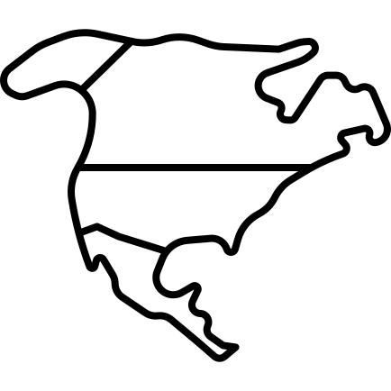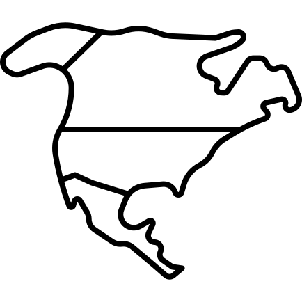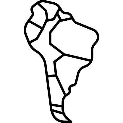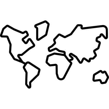
This illustration features a detailed map of the world's continents, highlighting their geographical boundaries and relative sizes. The design is suitable for educational purposes, making it an excellent resource for teachers and students studying geography, global cultures, or environmental science. Additionally, the map can be utilized in travel-related content, providing a visual reference for travel blogs, brochures, or presentations. Its clear and engaging layout makes it ideal for both digital and print media, enabling users to enhance their projects with a professional depiction of Earth's landmasses.

Part of the
Travelling SVG collection,
in Travel.
Download the World Continents Map vector as a ready-to-edit .svg file —
it scales to any size without losing quality and can be recoloured in any
vector editor or straight in CSS.