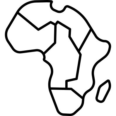
This intricate map of Africa showcases the continent's diverse geography, including countries, major cities, and key landmarks. It serves as a valuable resource for educational purposes, travel planning, and geographical studies. The map can be utilized in presentations, travel brochures, and online content to illustrate the rich cultural and natural heritage of Africa. Its clear delineation of borders and regions makes it an excellent tool for understanding the political landscape, as well as for highlighting tourism hotspots and environmental features. Ideal for educators, travelers, and businesses looking to engage with African markets or promote travel to the continent.
Part of the
Travelling SVG collection,
in Travel.
Download the Detailed Map of Africa vector as a ready-to-edit .svg file —
it scales to any size without losing quality and can be recoloured in any
vector editor or straight in CSS.